File:Downtown Haifa, Israel at night.jpg
MyWikiBiz, Author Your Legacy — Wednesday April 24, 2024
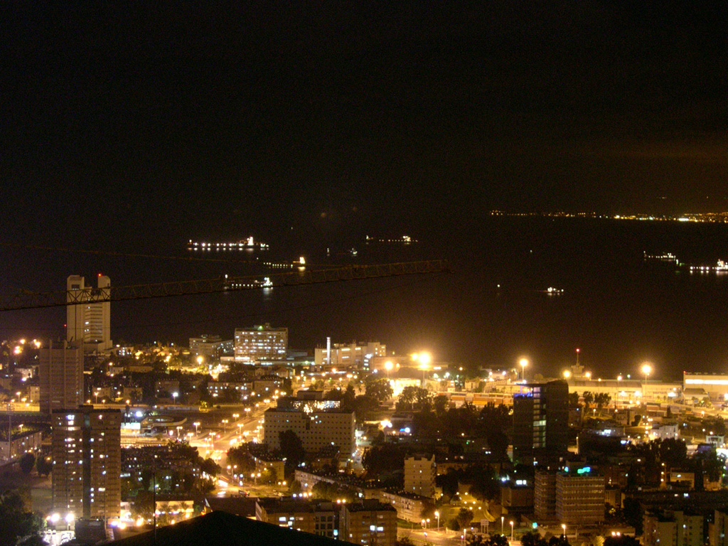
Revision as of 01:14, 20 July 2011 by Vapmachado (talk | contribs) (Downtown Haifa: To the left, farthest buildings before the sea, the "Rambam" Hospital and the medicine school; Black area - Haifa bay, with ships anchoring in it. Top-right - lights of the Qrayot, Haifa's suburbs. The intensly-lit area to the right is the)
Size of this preview: 800 × 600 pixels. Other resolutions: 320 × 240 pixels | 1,024 × 768 pixels.
Original file (1,024 × 768 pixels, file size: 397 KB, MIME type: image/jpeg)
Downtown Haifa: To the left, farthest buildings before the sea, the "Rambam" Hospital and the medicine school; Black area - Haifa bay, with ships anchoring in it. Top-right - lights of the Qrayot, Haifa's suburbs. The intensly-lit area to the right is the Haifa port.
http://commons.wikimedia.org/wiki/File:Downtown_Haifa,_Israel_at_night.jpg
Public domain
File history
Click on a date/time to view the file as it appeared at that time.
| Date/Time | Thumbnail | Dimensions | User | Comment | |
|---|---|---|---|---|---|
| current | 01:14, 20 July 2011 | | 1,024 × 768 (397 KB) | Vapmachado (talk | contribs) | Downtown Haifa: To the left, farthest buildings before the sea, the "Rambam" Hospital and the medicine school; Black area - Haifa bay, with ships anchoring in it. Top-right - lights of the Qrayot, Haifa's suburbs. The intensly-lit area to the right is the |
You cannot overwrite this file.
File usage
The following page uses this file: